
Our Proposals
Our Vision
We want to create a place that people are proud to call home. Our proposals have followed a landscape-led approach, shaped by the existing trees and hedgerows on the site, as well as how the development will relate to existing homes and the wider settlement of Kegworth.
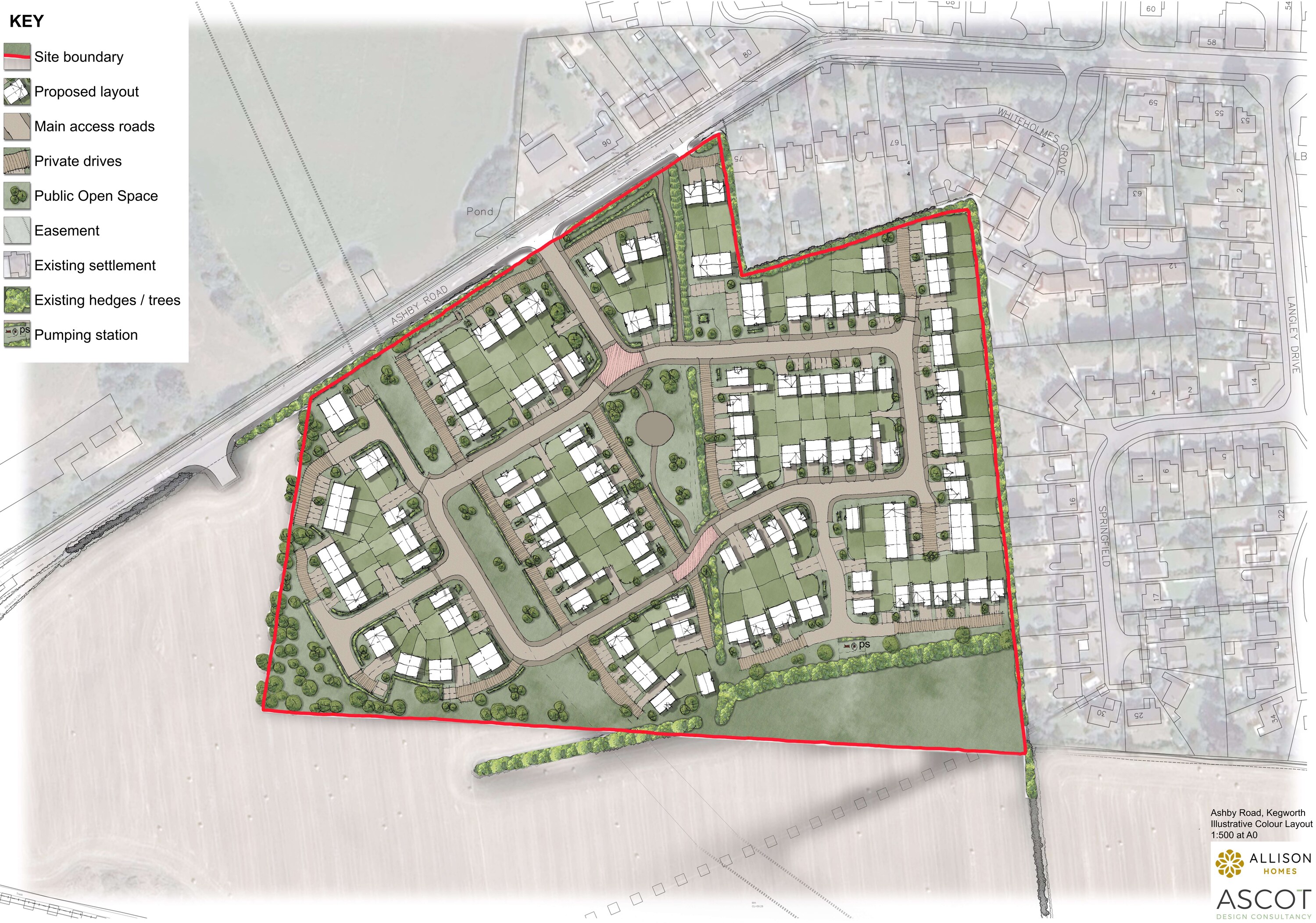
Indicative Masterplan
What we're proposing
Around 155 new homes
Around 155 new homes in a mix of types, sizes and tenures with a 30% affordable housing provision, delivered through schemes such as shared ownership and social rent
Public open space
New public open space, including a play area and green corridors, providing attractive spaces for recreation and helping connect green spaces across the site
Landscape, biodiversity & drainage
A landscape-led Masterplan retaining and enhancing existing trees and hedgerows where possible, with extensive new landscaping along the southern and western boundaries, a Biodiversity Net Gain, and Sustainable Drainage Systems (SuDS) to manage surface water across the site
New walking & cycling links
New pedestrian and cycle connections, including a link to the existing PRoW to the south-east of the site, alongside improvements to footways along Ashby Road
View
Interactive Site Masterplan
Drag, scroll or use the controls below to see how the site would fit into Kegworth.
Housing
Meeting Local Housing Needs
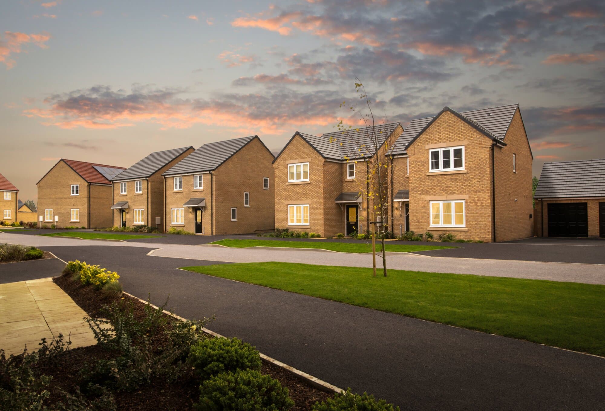
Our proposals include around 155 new homes, in a mix of types, sizes and tenures to meet the needs of households across Kegworth and North West Leicestershire. 30% of the homes will be affordable, delivered through schemes such as Shared Ownership, Discount Market Sale and Affordable Rent, helping local people to find a home they can afford and remain in the area.
Transport & access
Transport and Access
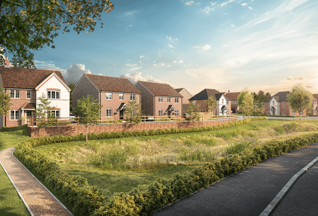
The site will be accessed from a single vehicular point off Ashby Road. We are also proposing new pedestrian and cycle routes, encouraging more sustainable modes of transport, including a new link to the existing Public Right of Way to the south-east of the site and improvements to the footways along Ashby Road.
Ashby Road is a bus route serving Derby, Leicester and Loughborough, with the site also having good connections to the M1, A42 and A453.
Landscape
Landscape-led Design
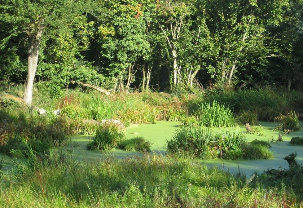
The site's Masterplan has followed a landscape-led approach, shaped by the site's existing features and characteristics, as well as how it would relate to the rest of Kegworth. Existing trees and hedgerows on site will be retained and enhanced, where possible, including extensive landscaping around site boundaries to help the site integrate seamlessly with its surroundings.
A central green corridor at the heart of the site will link new public open spaces with sustainable drainage features, giving residents the space to rest and relax, while also supporting local nature and wildlife habitats through the delivery of a Biodiversity Net Gain.
Questions
Frequently asked questions
Why here?
The site is a reserve allocation for residential development in North West Leicestershire District Council's adopted Local Plan (Policy H3, site reference H3d) and is a draft allocation in the emerging Local Plan under reference K12.
When will a planning application be submitted?
We are currently preparing a Full planning application, which will be submitted to North West Leicestershire District Council once we have completed all technical assessments and reviewed all feedback from this consultation. Your views will help to shape our final proposals before we submit.
How is the environment and nature being considered?
We are targeting a minimum Biodiversity Net Gain of 10%, through enhancing retained trees and hedgerows, new landscaping and planting, and Sustainable Drainage Systems (SuDS) to manage surface water naturally across the site, whilst being mindful of the site's location close to East Midlands Airport.
How will local services and infrastructure be affected?
We will work closely with North West Leicestershire District Council and Leicestershire County Council, as well as other consultees, to assess the impact on schools, healthcare and transport. A legally binding agreement, known as a Section 106 agreement, will determine the financial contributions paid to support local infrastructure and services from the development.
How will the site manage traffic, transport and access?
The site will be accessed from a single access point off Ashby Road. New pedestrian and cycle routes, including a link to the existing Public Right of Way to the south-east of the site, will give people safe and sustainable ways to travel, alongside improvements to existing footways along Ashby Road. A full Transport Assessment will be submitted alongside the planning application, demonstrating the existing network has the capacity to cope with vehicle movements generated from the site.